
Something that I used to do when it came to answering the question "how big is that ?" was to compare the size of events with something that was more relevant to the students (and to me, if I'm honest...)
A few months ago there was the excellent GULF OIL SPILL COMPARISON tool which showed how big the spill was in comparison to your local area (and other similar tools have also been produced as part of the whole map mash-up phenomenon...)

Now there is BBC DIMENSIONS (which has the web address "How big really".com)
A similar tool is called IF IT WERE MY HOME, and overlays countries over the size of the USA to explore scale.... (an expansion from the original Gulf Oil Spill map....)
And the final part of this post is a mention for OXFAM, who are campaigning to raise money for the catastrophic Pakistan Floods.
The web page which asks for assistance has a shocking map which shows the sheer scale of the flooded area as compared to that of the UK....
Update
This map has since been added to the BBC DIMENSIONS site, which suggests that new maps are being added all the time...
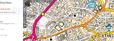
...and while we're on the subject of MAPPING, BING MAPS now has an ORDNANCE SURVEY option as you zoom in the scales (I like the labels on the zoom scale too saying COUNTRY, CITY and STREET)
Not sure where the school is though that's marked on the map just about where the GA HQ is...
Comments